A project is built in four stages. Each stage prepares the next.
Project development steps
01
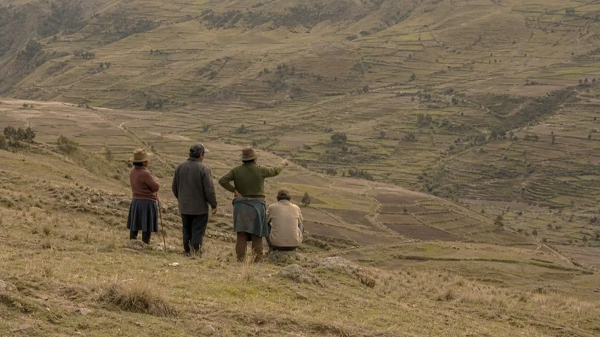
Understand the territory
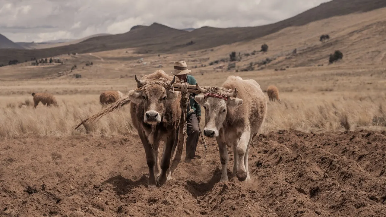
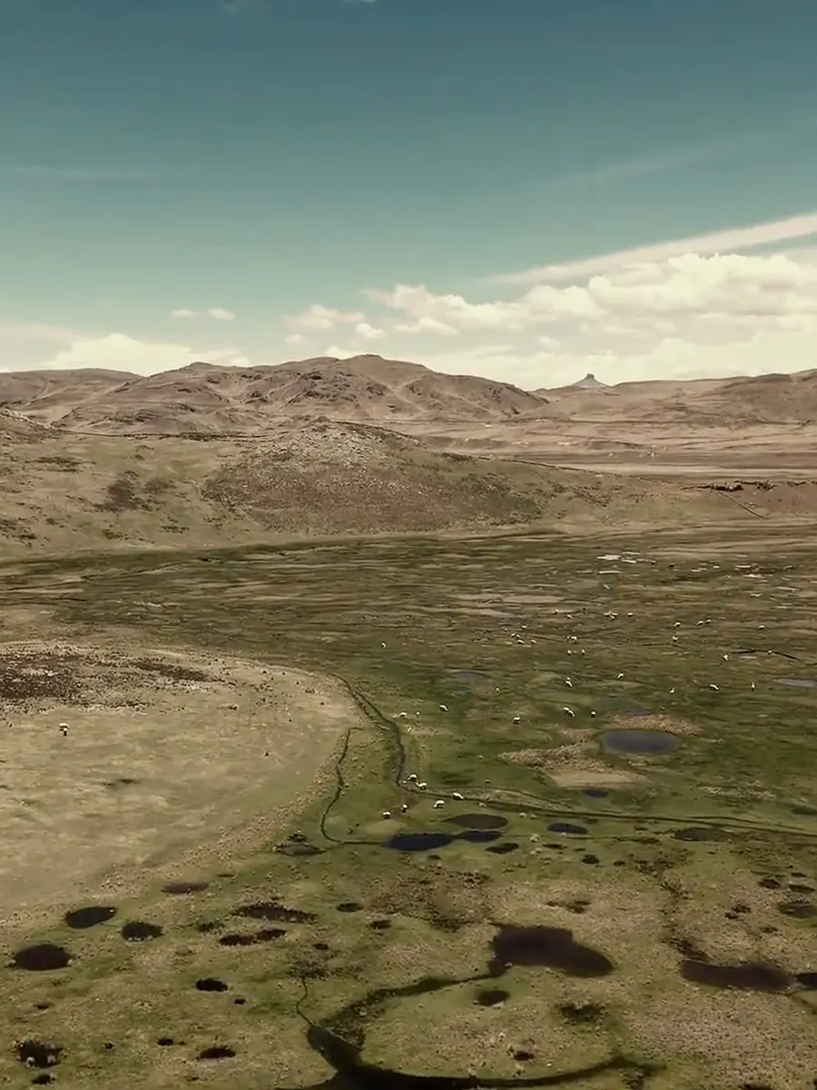
Soils, existing forest, native species, water, and the farming and grazing practices already in place. What the land can carry decides what gets planted.
02
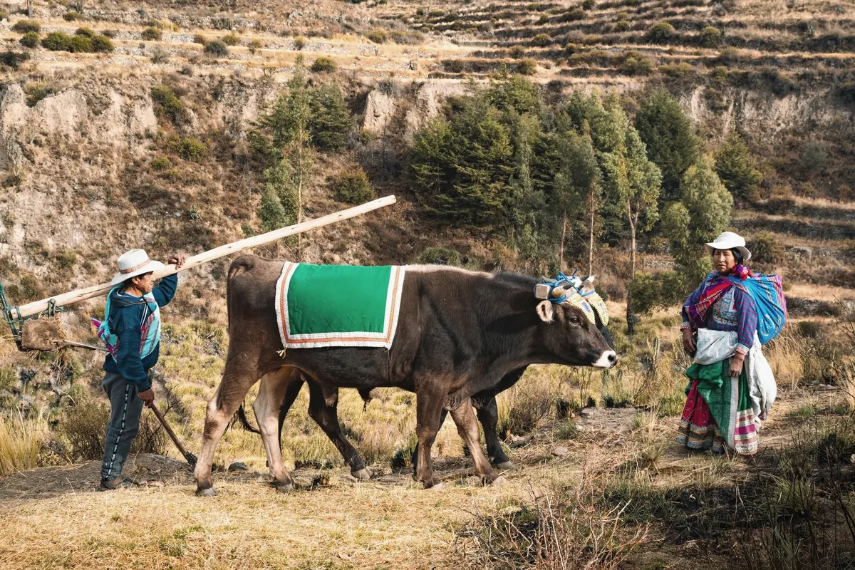
Build the partnership
Roles, commitments, decision-making and benefit sharing are defined with the community members involved, then written into clear agreements.
03
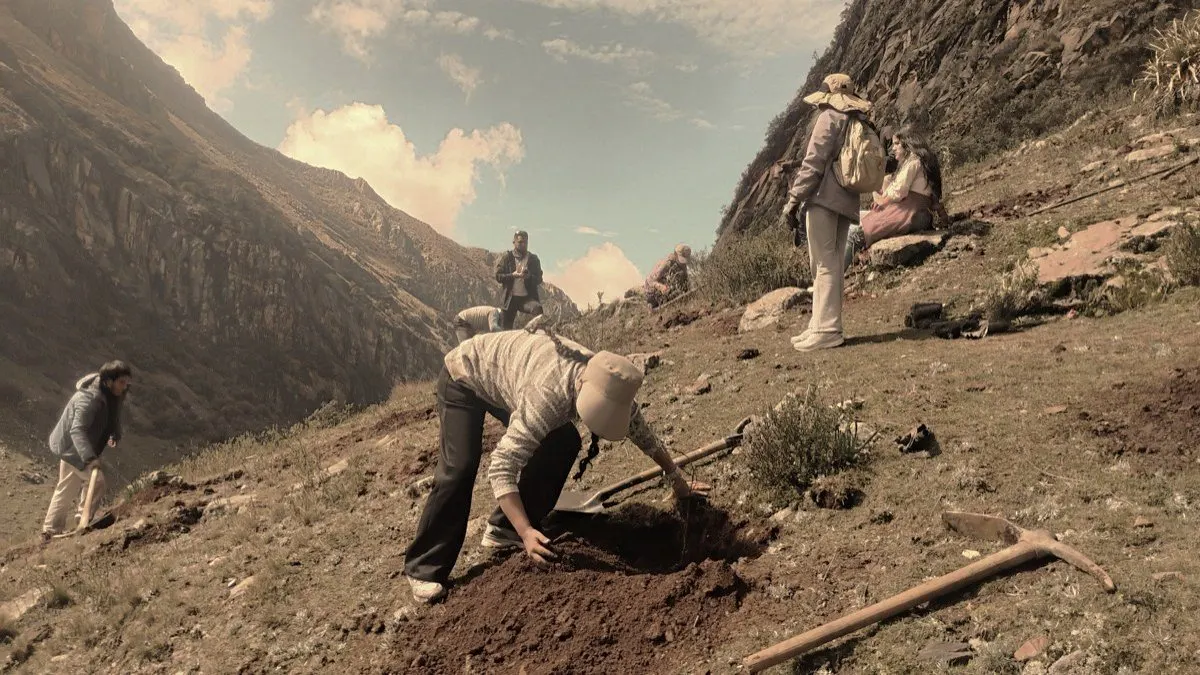
Carry out the work
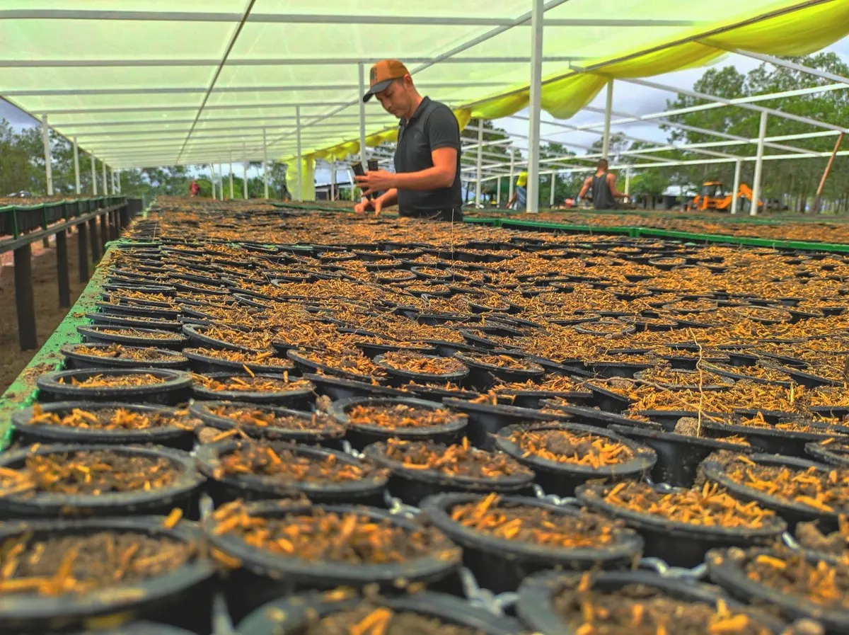
Nursery production, site preparation, planting, maintenance. Assisted natural regeneration, diversified plantings and agroforestry, chosen to fit the site.
04
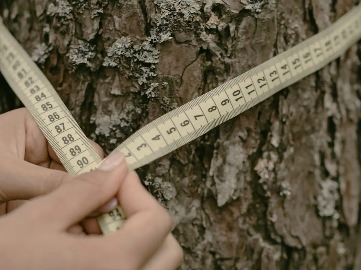
Monitor over time
Field measurement, remote sensing and digital collection feed one MRV system, which guides decisions and prepares independent validation and verification.
Building the project with local teams
Nurseries, site preparation, planting, maintenance and data collection create work and require skills. We want as much of this work as possible to be carried out locally.
Jobs, training and benefit sharing should be defined with the community when the project is organised and followed over time.
The aim is to keep the necessary skills in the territory and avoid permanent dependence on an outside team.
Monitoring and verification
We track the work completed, changes in the forest and the results achieved over time.
Field plots, diameter and height measurements, survival counts, satellite imagery and remote sensing are combined into a single monitoring system. The same data guides technical decisions and prepares the certification file.
Orateva is preparing its projects for a possible pathway under the Verified Carbon Standard, administered by Verra. Eligibility, methodology, independent validation and registration must still be demonstrated before any verified credits can be issued.